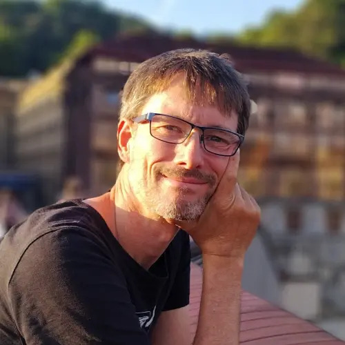
Markus Neteler
Program committee
I am Markus Neteler (PhD), co-founder and senior consultant at mundialis GmbH & Co. KG based in Bonn, Germany.
I received my MSc in Physical Geography and Landscape Ecology from the University of Hannover, Germany, in 1999. After graduation, I worked for two years as a researcher and teaching associate at the Institute of Geography. My career then took me to FBK-irst (formerly ITC-irst), where I worked as a researcher from 2001 to 2007, and to the Centro di Ecologia Alpina from 2005 to 2007. From 2008 to 2016, I was head of the GIS and Remote Sensing Unit (former website) at the Fondazione Edmund Mach in Trento, Italy. In 2015, I co-founded mundialis, a company in Bonn, Germany, specialized in the analysis of remote sensing data and the processing of large volumes of geospatial data using cloud-based processing.
My main interests are remote sensing for environmental risk assessment and Free Software GIS development. I have authored and co-authored two books on the open source geographic information system GRASS and numerous scientific papers on GIS applications. I am a founding member of both the GRASS Anwender-Vereinigung e.V. and the Open Source Geospatial Foundation (OSGeo), and served as an OSGeo board member from 2006 to 2011. From 1998 to 2020 I coordinated the GRASS GIS project and continue to support it as release manager.
In 2006 I received the Sol Katz Award for Geospatial Free and Open Source Software (GFOSS). I received my Doctor of Natural Science (Dr. rer. nat.) in Physical Geography in 2010. More recently, in 2022, I received the Life Achievement Award 2022 from the OpenGeoHub Foundation.