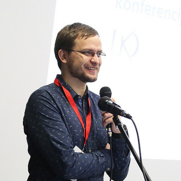
Andrius Balčiūnas
Program committee
Andrius Balčiūnas is a Lecturer of Cartography, Geographic Information Systems and Web Mapping at the Geoscience Institute of Vilnius University. PhD in Physical Science, graduate in Geography at Vilnius University. Founder and GIS Developer at Geografines informacines technologijos.
For more than 15 years as a GIS analyst and system architect he is participating in various national and international GIS system development, maintenance and digital mapping projects. With a professional skills in application of open source software he is focusing in building an effective and cost benefit GIS solutions for governmental and business sectors. Teaching activities at the university are based on subjects of cartography communication, web mapping services, open source GIS, and programming. Author and co-author of more than 20 scientific publications and 2 monograph, speaker at national and international conferences. He is a chairman of Lithuanian Cartographic Society since 2018.